Planet Hex
Hex based world map generator. You can customize and randomize the star the world is orbiting. You can also reroll the planet and atmosphere generation. The generation is based on simulating physics including the following features:
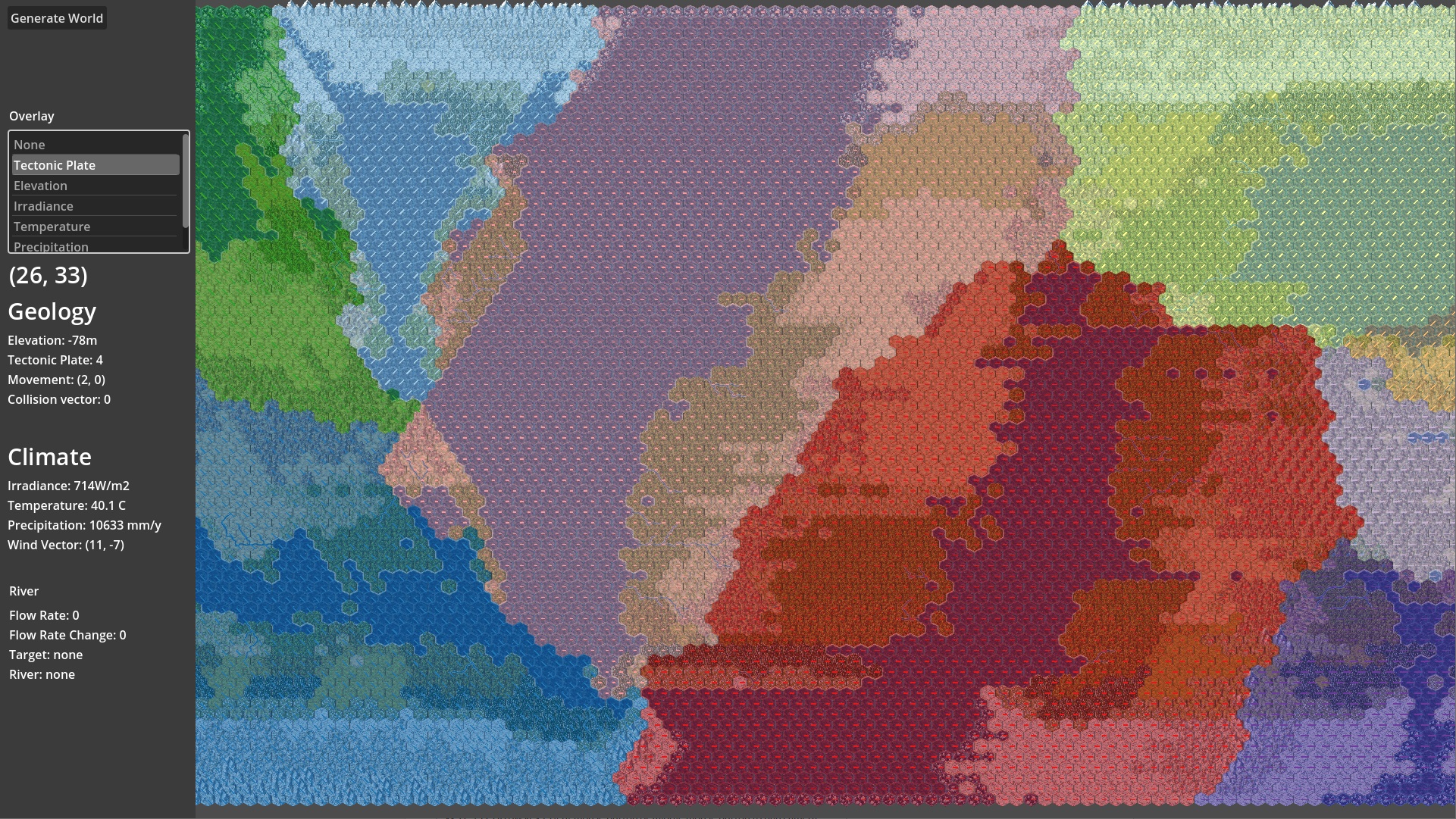
- Tectonic plate movement
- Sun irradiance
- Planetary winds and Hadley cells
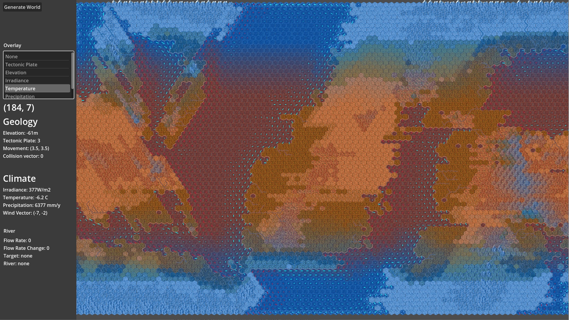
- Surface ocean currents
- Atmosphere composition
- Greenhouse effect
Controls:
W, A, S, D, Arrow keys, right mouse button or middle mouse button to pan camera
Notice:
The generator does not have loading indicators. The generator may appear to freeze but it can take several seconds for generator to run. If the wait times are too bad in browser, I recommend you to download and run the generator executable instead.
Tips:
- If you keep getting more ice planets that you'd like try picking F0 star and keep randomizing the planet until the distance is below 2AU.
Planet generation
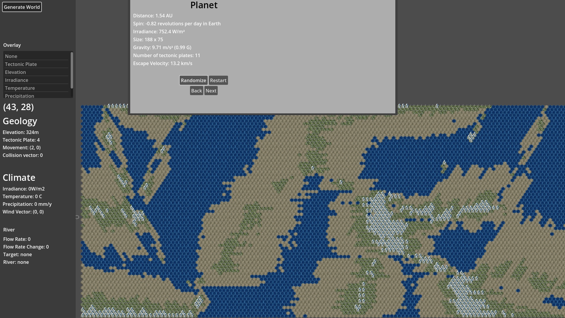
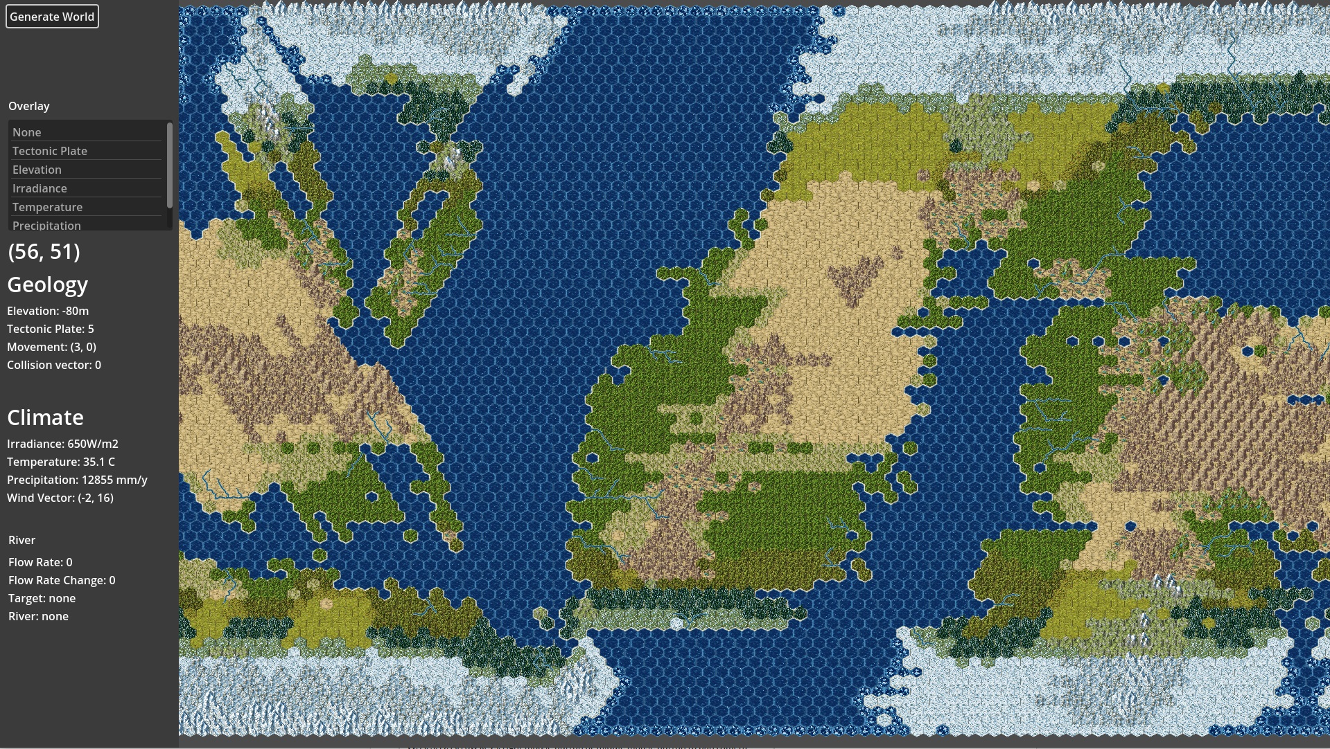
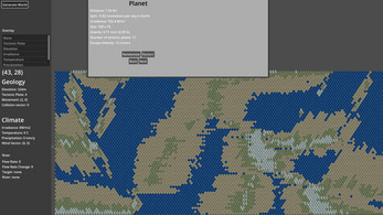
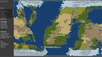
Generated Planet
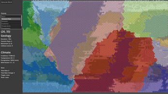
Tectonic Plates
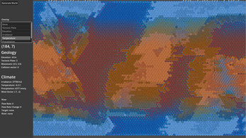
Temperature and Surface Ocean Currents
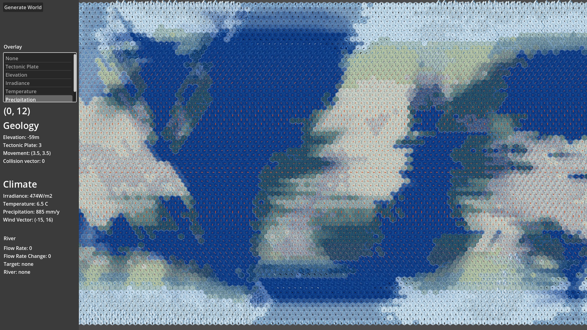
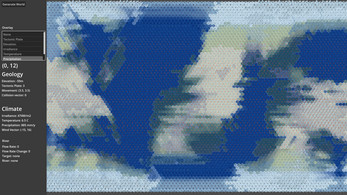
Precipitation and Planetary Winds
Comments
Log in with itch.io to leave a comment.
This would be a life saver for a wargame campaign I've been trying to prep for! Unfortunately it's difficult to use in a VTT without exports; additionally it would be nice if there were values enabling one to generate a planet with no oceans or a thin atmosphere, like mars or arrakis. I feel like there'd certainly be plenty of tabletop enthusiasts who'd be willing to pay money for a tool like this.
Thank you for the feedback and encouragement. I will try to deliver the image export soon.
Absolutely amazing. Really fun to play with.
Koppen climate map and biome/ vegetation type on hover would be amazing
Great work— this looks awesome! Are there ways to export the maps out of the app?
No there isn't. Taking a screenshot is your best bet at the moment. Which file format would you like to export it o?
Are you familiar with Azgaar’s fantasy map generator? Check out their export options— that’s what I would aim for. At minimum, I would add some image exports (JPEG, PNG, etc).
Yes, I love Azgaar's! I'll investigate how complicated it would be to add an image export option. Thanks for the feedback!
Thanks for putting this together! If you could figure out a way to get images and then the JSON outputs that would open up using something like QGIS with your maps, it would be amazing.